2. Seen from the space, and seen from the ground

Satellite images and fieldwork

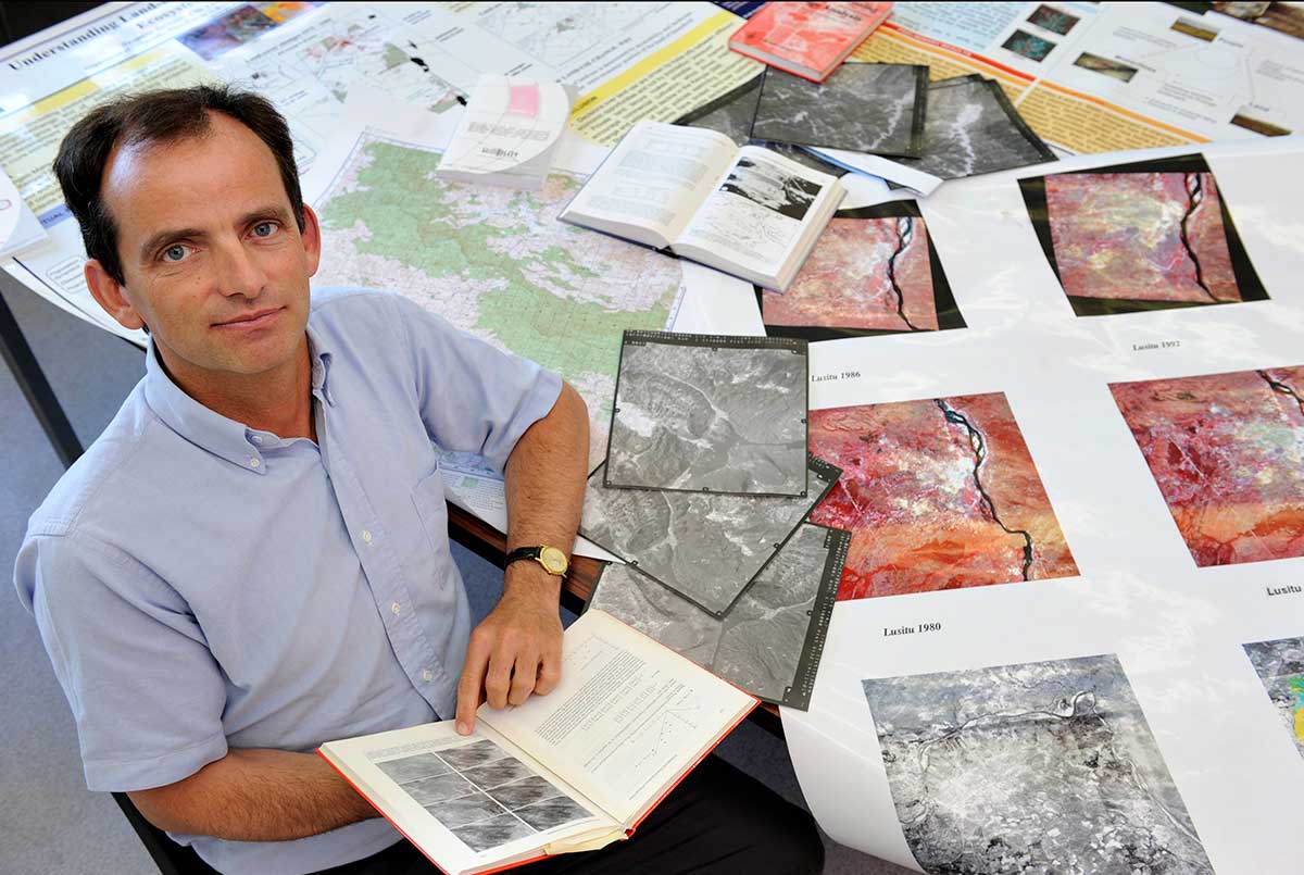
When Eric was preparing to enroll in a doctoral program, he decided to participate in a project designed to survey the status of and changes in land use over time by residents using remote sensing technology, technology that monitors the surface of the earth from satellites orbiting the earth. Such satellites use sensors to measure the earth's surface and periodically send image data. Satellite images are not simply photos. They also contain a wide range of data on plant distribution, land and sea surface temperature, differences in surface elevation, and the state of clouds. Satellite images of clouds are now a common part of TV weather forecasts.

Surveys on land use using satellite images were state-of-the-art. Aerial photographs were the norm at that time; however, they were extremely expensive, and photos were taken every 10 to 15 years. Satellite images were available every two weeks, and they were highly accurate in showing details of plants and soil on the ground. The images could also be analyzed by computers.

Eric decided to survey land use in Burkina Faso, a country in the Sahel region of Africa. Desertification of the Sahel had become a serious issue at that time, and it was thought that land use was the underlying cause. Eric decided to see if that was correct or not. The reason he chose Burkina Faso was that different nations used land in different ways such as for grazing or farming, which was shown in the satellite images.

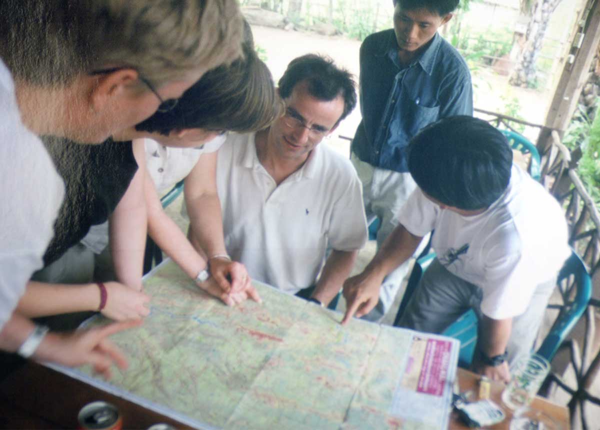
Eric collected satellite images of Burkina Faso, and then personally visited the country to conduct fieldwork. He purchased a motorcycle and carried a tent as he traveled from village to village for two or three months to interview people in each village about their lifestyle.
Why did he go to the site when he had high-quality satellite images that showed extensive detail? He went because there were things that the satellite images could not tell him. Satellite images show vegetation, soil, rocks, and rivers; while they precisely show the state of land development, they do not tell us how people live on the land. We need to talk to them to know about their life. At that time, surveys using satellite images were new technology; therefore, it was important for researchers to compare images with actual conditions on the ground.
The researchers use global positioning system (GPS) to know where they are, which makes it possible for them to check later where they interviewed people. Comparing the GPS information with satellite images gave them a deeper understanding of the relationship between people and the land.

Everywhere Eric visited, people were very kind to him. They gave him a live chicken. He carried the chicken on his motorcycle and went to the next village. Eating chicken every night kept him very healthy and gave him energy for his fieldwork. During his stay in the country, a military coup occurred. Eric was suspected of being a spy, detained, and then sent back to Belgium.

Fieldwork in Burkina Faso

Fieldwork in Burkina Faso

While this brought his fieldwork to an end, he was able to learn much. Although he could not find firm evidence of expanding desert, he did learn that too much agricultural, water use, and grazing had caused the land to deteriorate.

Addressing environmental problems

The idea that connects data from space and the ground led to Eric's research.
After completing his doctoral program at Université catholique de Louvain in 1987, he met Professor Alan Strahler of Boston University, a remote sensing pioneer. Eric talked to Professor Strahler about his idea of combining data from space and the ground, and Professor Strahler asked Eric to come to Boston University after he completed his doctoral program.
Eric accepted a position as associate professor at Boston University, and devoted himself to research on remote sensing with the help of great coworkers and supervisors. He worked on connecting the changes in landscape seen in the satellite images and changes in vegetation and humidity actually observed on the Earth's surface. Professor Strahler led the development of measurement devices to be installed in the satellites TERA and AQUA in partnership with the National Aeronautics and Space Administration (NASA), and Eric also played an important role in this development.

In 1993, he moved to the Institute for Remote Sensing Applications in Italy and continued his research.

1993

Around that time, Eric's interests began to change a little bit. The reason that he was interested in research on land was because he could travel around the world and remote sensing technology was very interesting. However, as he continued his research, he realized that extremely rapid changes were occurring in the global environment.
Land use for agriculture and livestock farming has a significant influence on the environment. For example, destruction of forests in a region influences biodiversity and the water environment. The increase of CO2 emissions influences climate. These also threaten human life through damage to food production and the spread of disease.
Eric thought we should find solutions for environmental problems. He started thinking about what he could do through his research.

3. To conserve forests and lands around the world

menu

Prof. Eric Lambin

Japanese